The drone is abbreviated as "unmanned aerial vehicle", abbreviated as "UAV", which is a non-manned aircraft operated by radio remote control equipment and self-contained program control device, or operated autonomously by the onboard computer completely or intermittently.
Compared to manned aircraft, drones are often better suited for tasks that are too "dull, dirty or dangerous." UAVs can be divided into military and civilian applications according to the application field. In military terms, drones are divided into reconnaissance planes and drones. Civilian, drone + industry application, is the real need for drones; currently in aerial photography, agriculture, plant protection, micro-self-timer, express delivery, disaster relief, observation of wildlife, surveillance of infectious diseases, mapping, news reports, power patrol The application in the fields of inspection, disaster relief, film and television shooting, and manufacturing romance has greatly expanded the use of the drone itself. The developed countries are also actively expanding the application and development of drone technology.
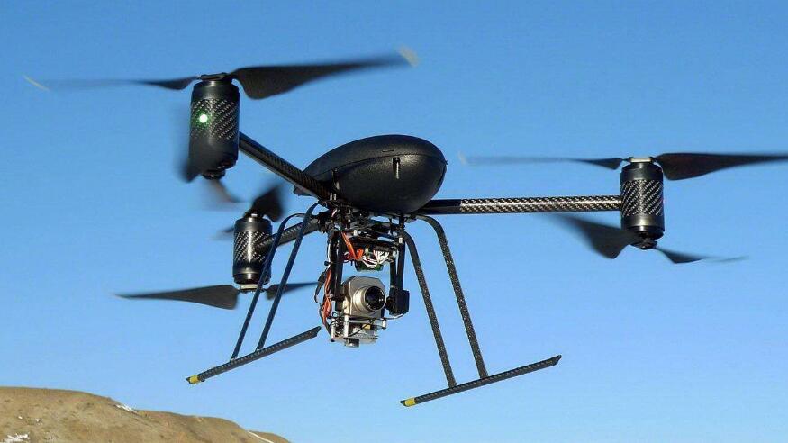
In order to ensure the safety of low-altitude airspace, in the future in Xinjiang, drones can no longer be self-willed! Some time ago, the Public Security Department of the Xinjiang Uygur Autonomous Region issued the "Notice of the Xinjiang Public Security Department on Strengthening Flight Management of Civil Unmanned Aerial Vehicles" (hereinafter referred to as the "Notice").
The "Notice" stated that the move is to actively maintain social stability and long-term stability in Xinjiang, severely crack down on various illegal activities such as violations of laws and regulations, ensure the safety of low-altitude airspace throughout the region, and effectively safeguard public security and protect the people's lives and property. All local operating units, employees, aviation model sports associations and enthusiasts who use low-altitude slow small target vehicles (objects) must abide by relevant laws, regulations and various regulations.
According to the "Notice", the Xinjiang police will strengthen the flight targets with flight altitudes below 1,000 meters, flight speeds less than 200 km/h, and radar reflections of less than 2 square meters, mainly light and ultralight aircraft, light helicopters, gliders, Delta wing, power delta wing, rotorcraft, paraglider, powered paraglider, hot air balloon, hot airship, drone, air balloon, tethered balloon, kongming lantern and other dangerous low altitude slow small target aircraft to be managed The management of (object). "Illegal flight violations" means unauthorised flight; flight that does not fly in accordance with the approved flight plan; does not report or miss flight dynamics in a timely manner; does not fly into the air restricted zone, air danger zone or no-fly zone without approval; Flight qualifications are not flying in the airspace.
The "Notice" emphasizes that the civil aviation airport clearance protection area refers to an area 10 kilometers away from the center line of the airport runway and 15 kilometers outside the runway end. The military airport clearance protection area refers to an area 15 kilometers away from the center line of the airport runway and 20 kilometers outside the runway end. The no-fly zone refers to the areas of government, organizations, enterprises, institutions and other areas, such as communication, water supply, power supply, energy supply, storage of dangerous goods, large-scale material reserves, and other key areas for prevention and control of national economy and public welfare, national security and public safety; Such as crowded places; airspace flights over important military, political, and economic targets and compulsory areas (prisons, drug rehabilitation sites); areas announced by the government for temporary control.
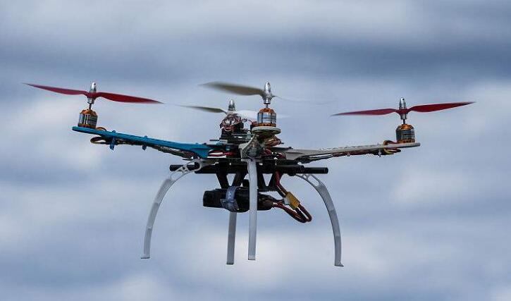
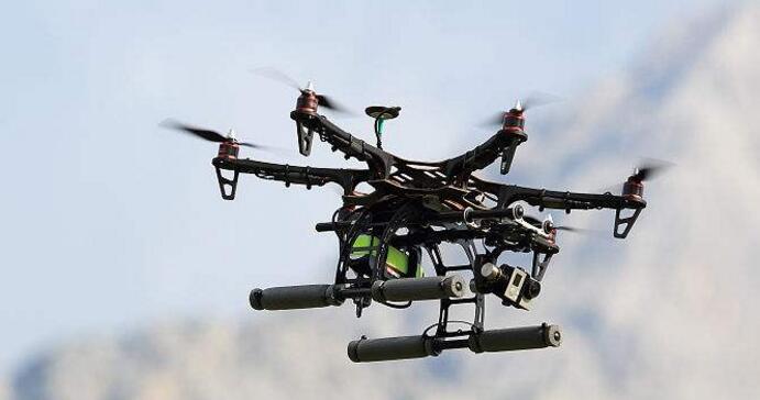
Xinjiang UAV no-fly zone includes: Aksu / Wensu, Altay, Bole / Alashankou, Qiemo / Yudu, Fuyun / Cocotohai, Shihezi / Garden, Kuche / Kucha, Karamay, Burqin / Kanas, Xinyuan/Nalati, Kashi, Tacheng, Turpan/Chaohe, Hetian, Urumqi/Diwobao, Yining.
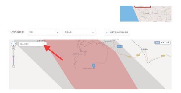
Inquiring method of Dajiang official website of the no-fly zone: Log in to DJI Innovation Website, pull to the bottom of the website, find the "Safe Flight Guide" under Education, click to enter [Flight Area Restriction Map] and then select [Asia], [Mainland China], Enter your area in the map [Enter Keywords] to query the flight information!

Safety flight guidelines
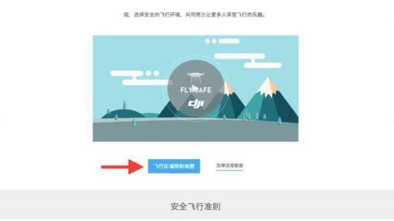
Flight area restriction map
SWITCH SOCKET
Guangdong Shunde Langzhi Trading CO., Ltd , https://www.langzhielectrical.com
